
Canouan
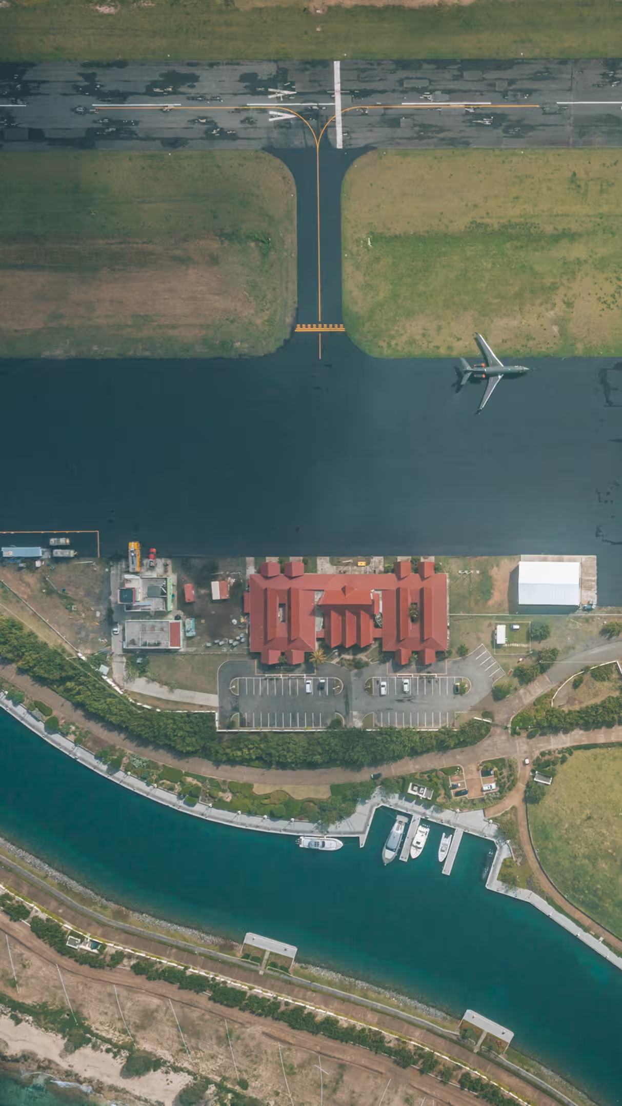
Canouan Airport
- IATA
- CIW
- ICAO
- TVSC
- Runway
- 13 / 31
- Length
- 1,791 m
- Elevation
- 3.4 m
- Position
- 12°41′57″N 61°20′33″W
One stop down the chain.
Canouan lies 55 km (30 nm) from Argyle on the mainland, reached by the short-haul aircraft that work the island chain.
- From Argyle
- 55km
- Nautical
- 30nm
Runways across the network
The runway that opened the island.
A land-reclamation and extension project finished at the end of March 2008, lengthening the field by more than seventy per cent. Before it, the largest aircraft to serve Canouan was a turboprop ATR 72. After it, the island could take an Airbus A320 or Boeing 737 carrying well over a hundred passengers direct from a regional hub.
- Runway
Extended onto reclaimed land, from 1,053 m to 1,791 m.
- Control tower
Raised by roughly 3 m to clear the longer field.
- Arrivals terminal
Extended to take the larger arriving aircraft.
- Apron & navaids
Apron expansion and navigation systems completed by 2011.
Aerodrome data
- IATA / ICAO
- CIW / TVSC
- Runway
- 13 / 31 · asphalt
- Runway length
- 1,791 m — 5,875 ft
- Elevation
- 3.4 m — 11 ft
- Coordinates
- 12°41′57″N 61°20′33″W
- Reopened
- May 2008, after modernisation
- Largest aircraft
- Airbus A320 · Boeing 737
- Operators
- SVG Air · Mustique Airways · Grenadine Airways