
Union Island
Union Island Airport
- IATA
- UNI
- ICAO
- TVSU
- Runway
- 08 / 26
- Length
- 752 m
- Elevation
- 4.3 m
- Position
- 12°35′55″N 61°24′53″W
One stop down the chain.
Union Island lies 68 km (37 nm) from Argyle on the mainland, reached by the short-haul aircraft that work the island chain.
- From Argyle
- 68km
- Nautical
- 37nm
Runways across the network
Over the hill, and down.
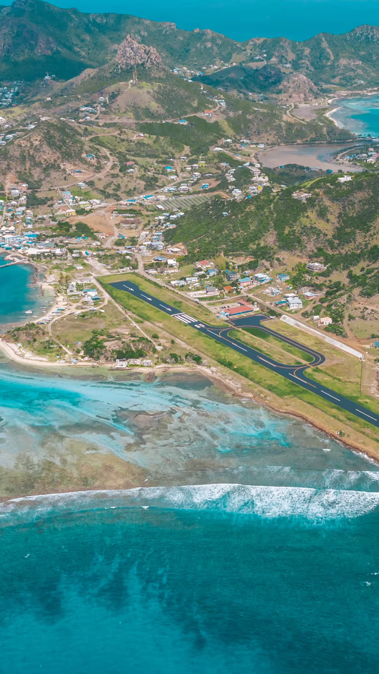
Union Island's strip runs 752 metres between rising ground and the sea at Clifton. It is one of the more demanding arrivals in the Eastern Caribbean, flown only by turboprop and short-field aircraft and only in daylight.
- From the west
Aircraft cross the ridge and descend steeply toward the threshold — the manoeuvre local crews call “over the hill and dive”.
- Approach slope
The western approach falls at roughly twenty per cent, far steeper than a standard three-degree glidepath.
- Margins
Hills sit close on one side and open water at the runway end, leaving little room for a long or shallow arrival.
- Daylight only
The runway is unlit, so there are no departures after dusk. Schedules are built around the light.
The doorstep of the Tobago Cays.
Union Island is the closest airstrip to the Tobago Cays Marine Park — five uninhabited islands set inside a 1,400-acre lagoon, sheltered behind the great curve of Horseshoe Reef. The water is shallow, sand-bottomed and clear, and green turtles graze the sea grass in the lee of the cays.
- Petit Rameau
- Petit Bateau
- Baradal
- Petit Tobac
- Jamesby
Aerodrome data
- IATA / ICAO
- UNI / TVSU
- Runway
- 08 / 26 · asphalt
- Runway length
- 752 m — 2,467 ft
- Runway width
- 18 m — 59 ft
- Elevation
- 4.3 m — 14 ft
- Coordinates
- 12°35′55″N 61°24′53″W
- Opened
- 1994
- Operations
- Turboprop & STOL · daylight only